Directions to NMMC
Directions to NMMC
Getting to Northern Maine Medical Center
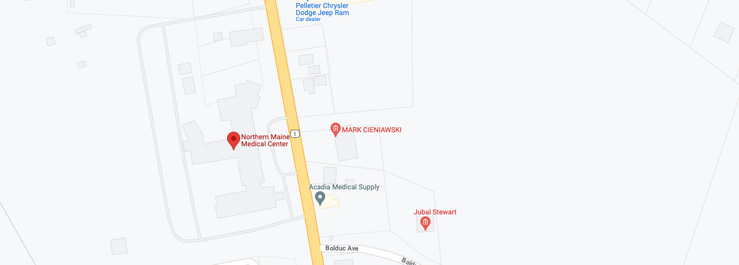
Fort Kent is approximately a 3 1/2 hour drive north of Bangor, by way of Interstate 95. Take exit 58 (Sherman) and then travel north along Route 11. The highway traverses through approximately 100 miles of Northern Maine woods and farmland with the small towns of Patten, Masardis, Ashland, Portage Lake, and Eagle Lake pass along the way to Fort Kent. Upon arrival to Fort Kent, Route 11 becomes Pleasant Street. Continue and turn right, onto East Main Street (US Route 1) at the traffic light. Travel through the next traffic light and up the hill, at which time Northern Maine Medical Center will be visible on the left-hand side of the street.
Alternate Route
An alternate route follows Interstate 95, north to Houlton (exit 62). Once taking this exit, turn left onto Route 1 (North). In Caribou, take route 161 North to Fort Kent. Just prior to entering Fort Kent, there will be a fork in the road, continue along Route 161 (now Market Street). At the traffic light, turn right onto East Main Street (Route 1), travel up the hill. Northern Maine Medical Center will be visible on the left-hand side of the street.
From Canada
From Canada, follow Trans Canada Highway 2 to Edmundston, New Brunswick. Take NB 120 and 205 to Clair and cross the International Bridge to Fort Kent. Once customs has been cleared, turn left onto West Main Street (Route 1). Continue through the two traffic lights and travel up the hill. Northern Maine Medical Center will be visible on the left-hand side of the street.
